Marlborough 4WD Club
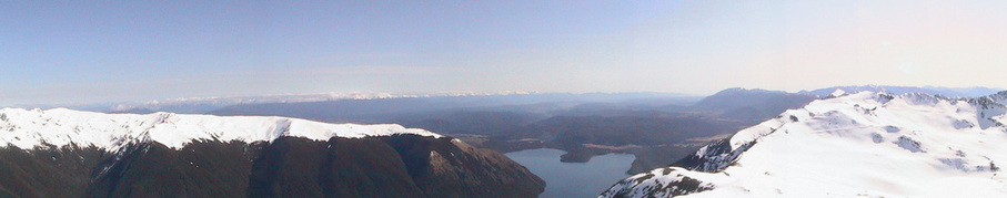
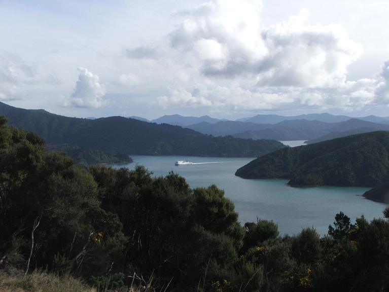
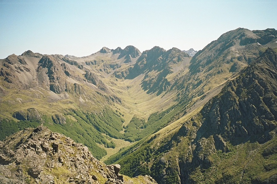
Lake Rotoiti from the top of Mt McRae 1878m
Marlborough Country
Marlborough is a great place to live with a great climate - apart from the north-westerly winds which are one of our best kept secrets! Geographically, Marlborough is made up of four general areas with markedly different terrain.
At the top we have the Marlborough Sounds, a 4,000 sq. km river valley system which has subsided (and still is subsiding) allowing the sea to encroach, and forming a beautiful area of bays, small beaches and bushclad hills. Moving south we have the Mt Richmond Forest Park which, at 1,660 sq.km, is the second largest forest park in the country. It includes the Richmond Range and part of the North Bank of the Wairau River. This is an area of moderate rainfall with bushclad hills reaching up to 1,650m (Mt Patriarch). The park is conservation land and is covered by a network of walking tracks and huts. Surprisingly, it is little frequented being off the tourist routes. The North Bank is mainly private exotic forest with many 4wd roads and tracks to which the club has access. A bizarre part of the North Bank within the forest park are the Red Hills, These are composed of rocks from the earths mantle which, on weathering, produce soils so high in magnesium that plant growth is inhibited. The result is a red, rocky, barren wasteland. The Red Hills sit on one side of the Alpine fault and the rocks match identical rocks in the similarly named Red Hills Range in Otago - a transverse fault movement of some 400km.
South of the Richmond Ranges is the Wairau River the first of the three main river systems which divide Marlborough, the others being the Awatere and the Clarence. Each of these are active faults branching off the Alpine Fault. They are swift-flowing braided rivers liable to rapid flooding, when they carry large amounts of sediment. The coastal plains formed by the Wairau and the Awatere are the heart of the Marlborough wine industry.
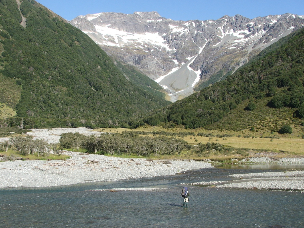
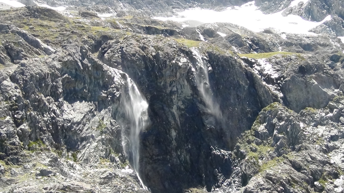
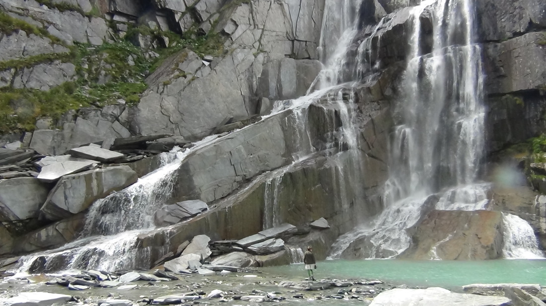
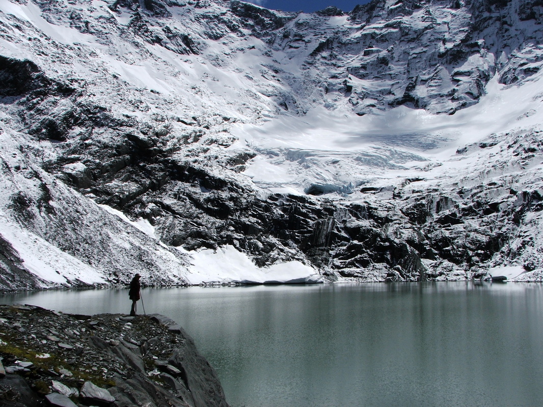
Between these rivers lie South Marlborough, the Molesworth and the Clarence Reserve - areas of rugged mountains, native beech forest, tussock basins, alpine lakes and tarns and glaciated river valleys. A distinctive feature are the massive scree slopes. Historic Molesworth Station is New Zealand's largest farm and is now managed by the Department of Conservation along with the neighbouring St James Station. The mountains are dominated by Mt Tapuae-O-Uenuku at 2,885m which rises majestically from near sea level, but many others exceed 2,000m
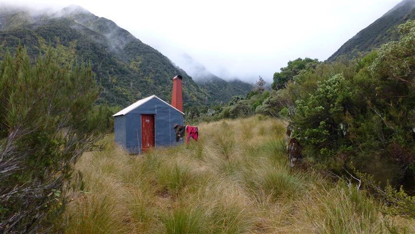
Here are a few, mainly personal, photos of typical Marlborough scenes. Admittedly some of these require more than a 4WD to reach. Helicopters for the wealthy or foot slogging for the rest of us. But once you get up on "the tops" the views are priceless. If you wish to reproduce any of these photos please contact the Webmaster.
At the top we have the Marlborough Sounds, a 4,000 sq. km river valley system which has subsided (and still is subsiding) allowing the sea to encroach, and forming a beautiful area of bays, small beaches and bushclad hills. Moving south we have the Mt Richmond Forest Park which, at 1,660 sq.km, is the second largest forest park in the country. It includes the Richmond Range and part of the North Bank of the Wairau River. This is an area of moderate rainfall with bushclad hills reaching up to 1,650m (Mt Patriarch). The park is conservation land and is covered by a network of walking tracks and huts. Surprisingly, it is little frequented being off the tourist routes. The North Bank is mainly private exotic forest with many 4wd roads and tracks to which the club has access. A bizarre part of the North Bank within the forest park are the Red Hills, These are composed of rocks from the earths mantle which, on weathering, produce soils so high in magnesium that plant growth is inhibited. The result is a red, rocky, barren wasteland. The Red Hills sit on one side of the Alpine fault and the rocks match identical rocks in the similarly named Red Hills Range in Otago - a transverse fault movement of some 400km.
South of the Richmond Ranges is the Wairau River the first of the three main river systems which divide Marlborough, the others being the Awatere and the Clarence. Each of these are active faults branching off the Alpine Fault. They are swift-flowing braided rivers liable to rapid flooding, when they carry large amounts of sediment. The coastal plains formed by the Wairau and the Awatere are the heart of the Marlborough wine industry.
Between these rivers lie South Marlborough, the Molesworth and the Clarence Reserve - areas of rugged mountains, native beech forest, tussock basins, alpine lakes and tarns and glaciated river valleys. A distinctive feature are the massive scree slopes. Historic Molesworth Station is New Zealand's largest farm and is now managed by the Department of Conservation along with the neighbouring St James Station. The mountains are dominated by Mt Tapuae-O-Uenuku at 2,885m which rises majestically from near sea level, but many others exceed 2,000m
Here are a few, mainly personal, photos of typical Marlborough scenes. Admittedly some of these require more than a 4WD to reach. Helicopters for the wealthy or foot slogging for the rest of us. But once you get up on "the tops" the views are priceless. If you wish to reproduce any of these photos please contact the Webmaster.
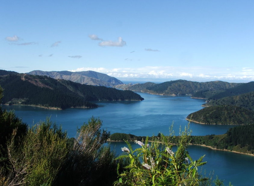
The Marlborough Sounds
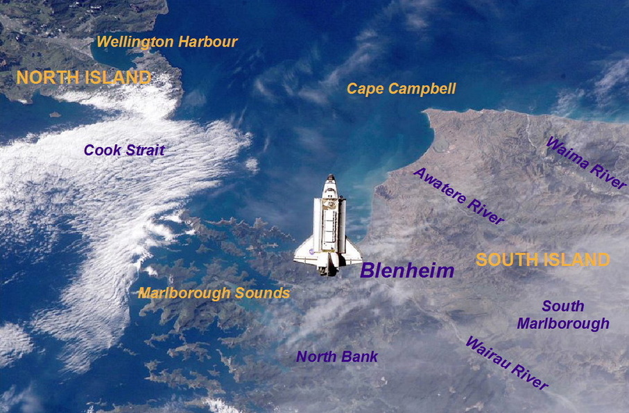
Space shuttle over the Marlborough Sounds, Blenheim and the Wairau Valley , NASA 2002
Tory Channel, 2004. © David V. Selby
Richmond Forest Park and the North Bank
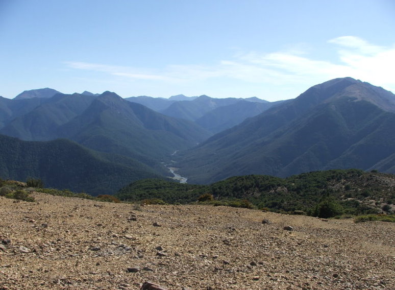
Richmond Forest Park - The Goulter River from Star Hill. Jan 2010. © Peter M. Selby
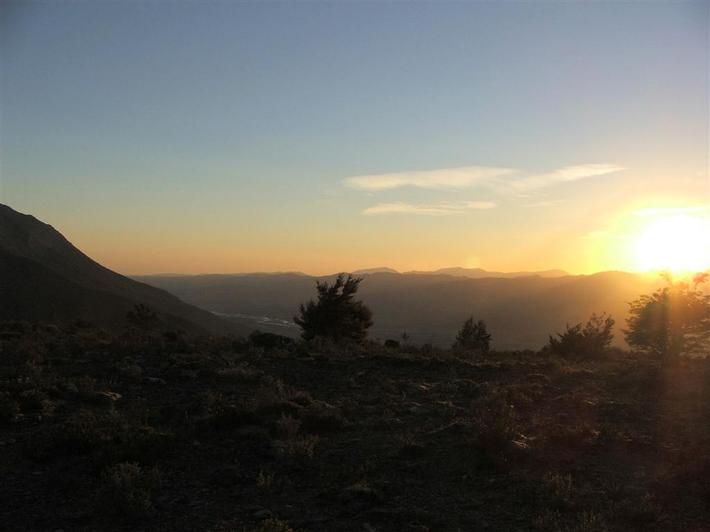
Sunrise over the Wairau Valley. © Peter M. Selby
Sunrise on Mt Sunday (1310m) taken from Mt Riley
The Red Hills near St Arnaud. Red Hill (1791m) on left. Summer 2011 © Peter M. Selby
The Rivers
The Clarence. 2005. © Peter M. Selby
The Wairau Plains. © Peter M. Selby
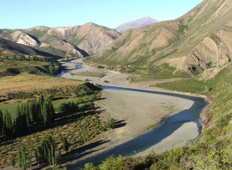
Wairau River at the confluence with the Branch River
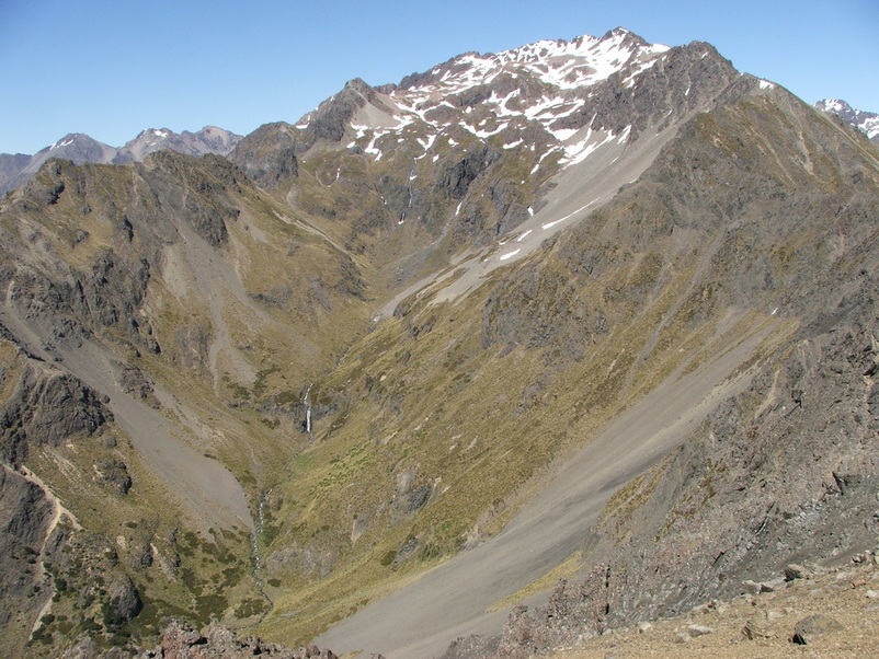
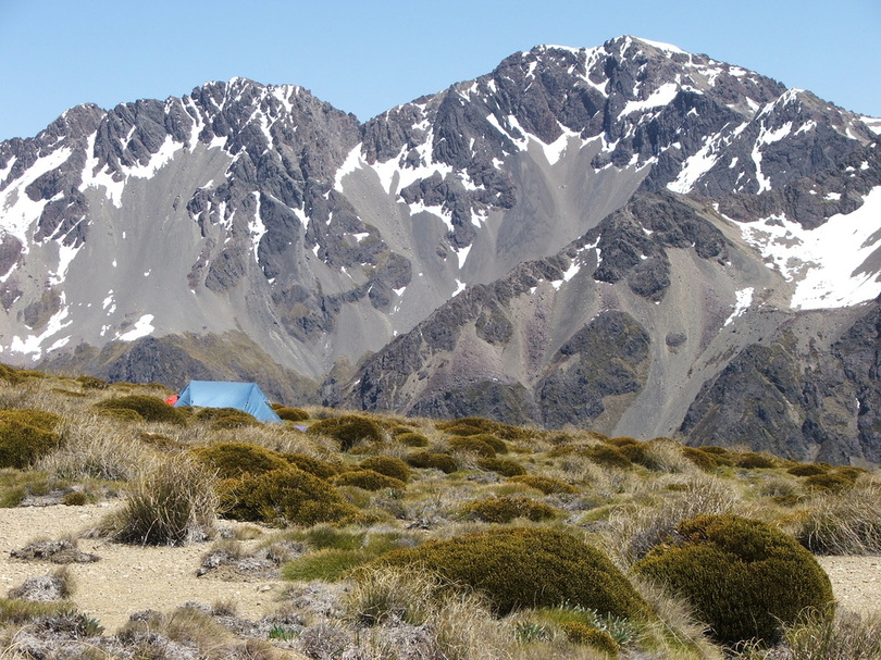
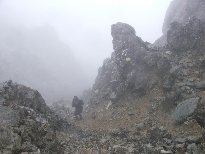
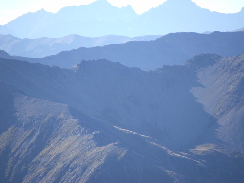
South Marlborough, Molesworth and the Clarence
South Marlborough in summer - © David V Selby
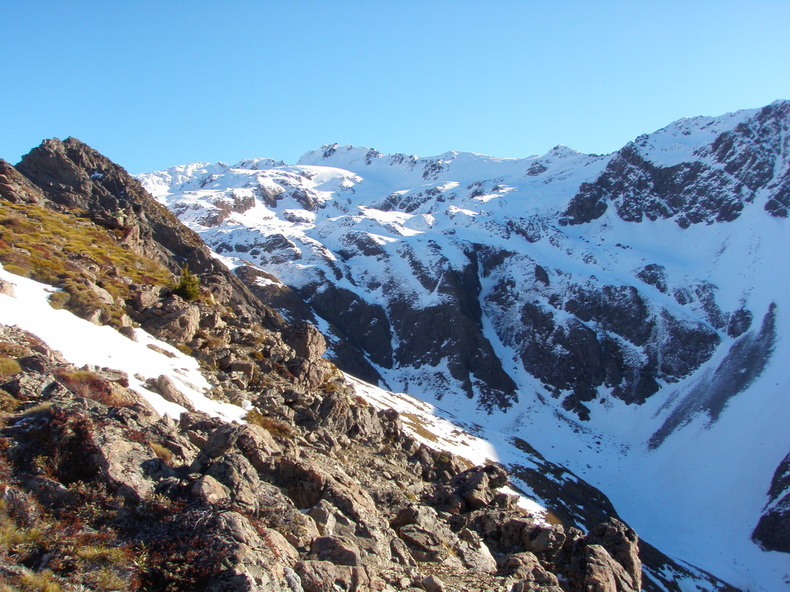
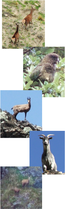
Winter in South Marlborough - Chamois country © Peter M. Selby
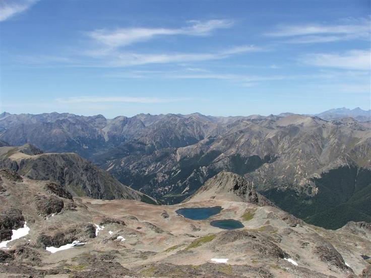
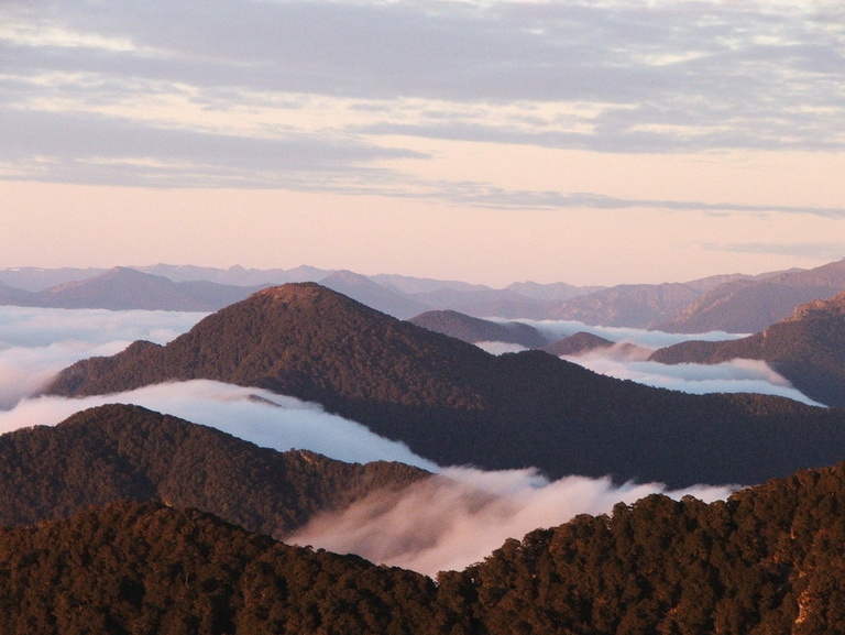
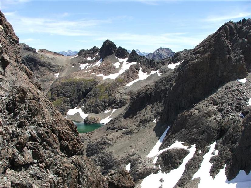
Mountain tarns in South Marlborough in midsummer - © Peter M. Selby
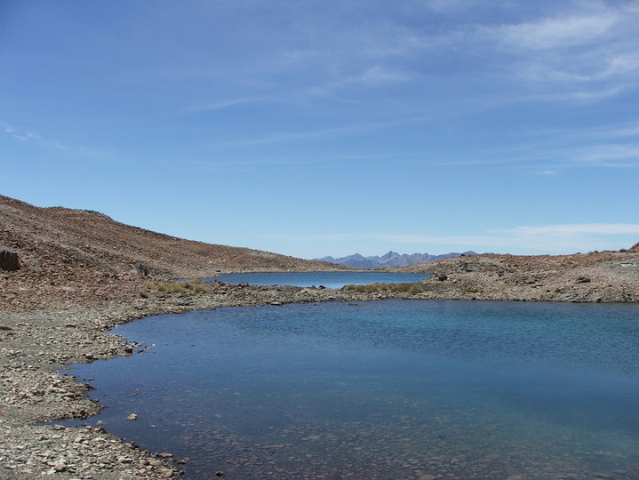
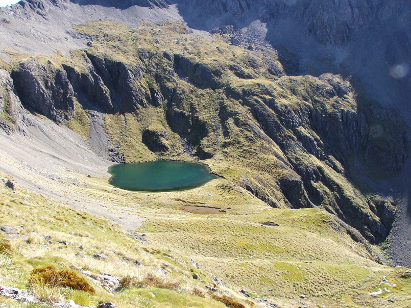
South Marlborough - Tarns at 1900m © David V. Selby
High tops of South Marlborough in mid summer. Altitude 2,000m (6,500ft) © David & Peter Selby
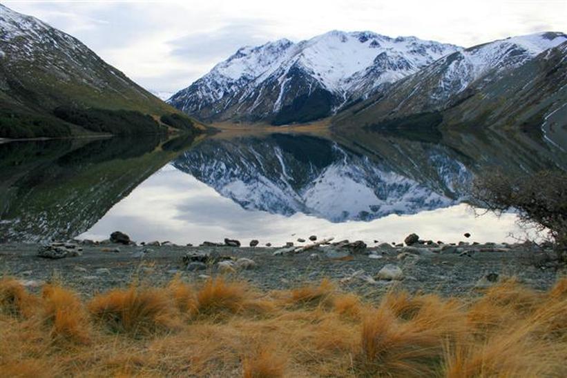
Lake Tennyson. © David V. Selby
Spring in South Marlborough © Peter M. Selby
South Marlborough Mountain Tarn © Peter M. Selby
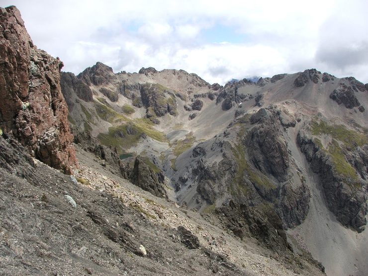
South Marlborough/Molesworth Feb 2010 © Peter M. Selby
South Marlborough Feb 2010 © Peter M. Selby
South Marlborough Feb 2010 © Peter M. Selby
South Marlborough Feb 2010 © Peter M. Selby
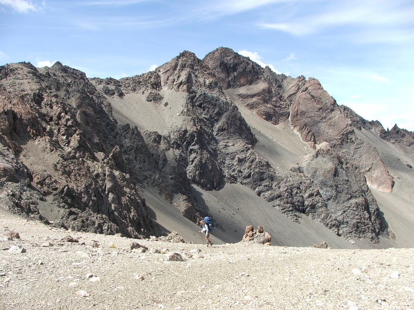
South Marlborough - Nov 2007 © Peter Selby
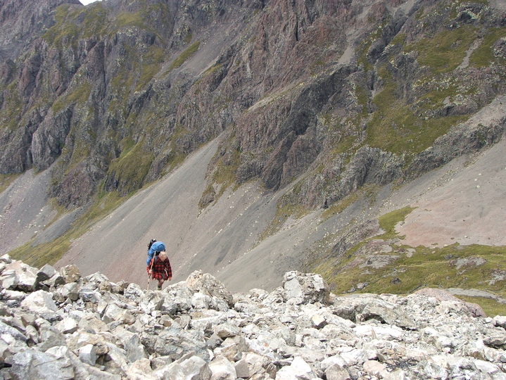
South Marlborough Nov 2007 - © Peter Selby
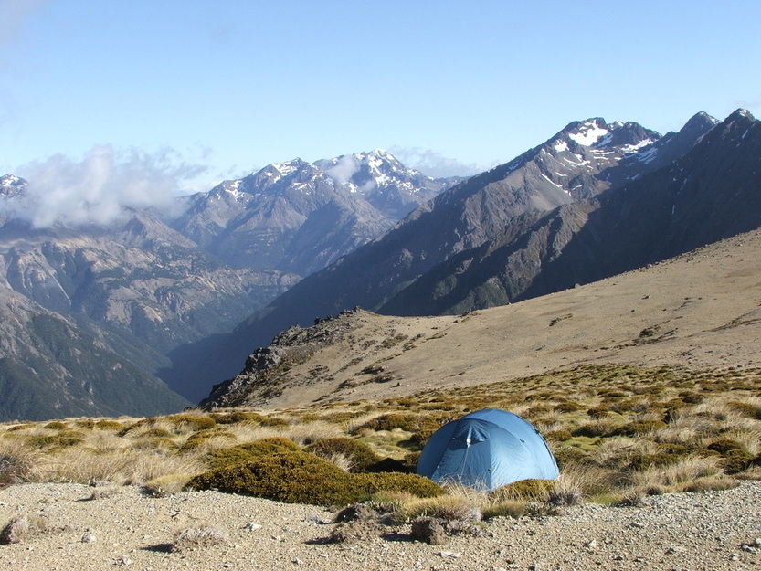
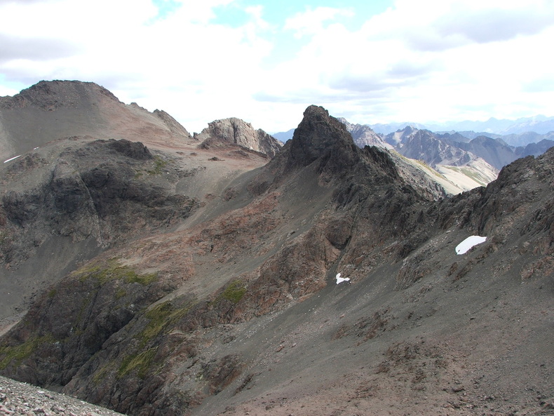
2000m pass in mid-summer © Peter Selby
South Marlborough - 2008 © Peter M. Selby
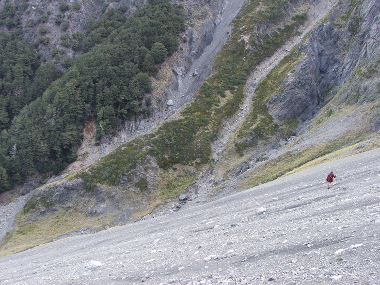
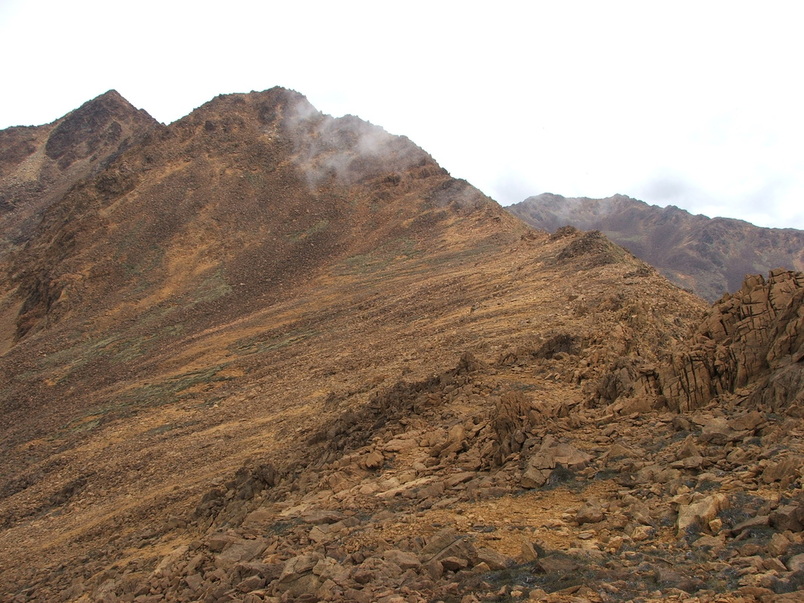
South Marlborough scree - 2010 © Peter M. Selby
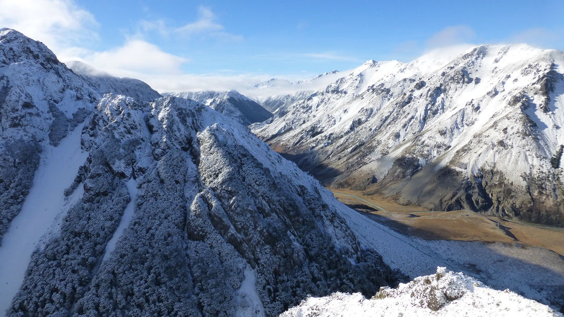
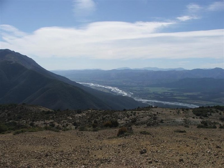
Upper Wairau Valley - June 2013 © Peter M. Selby
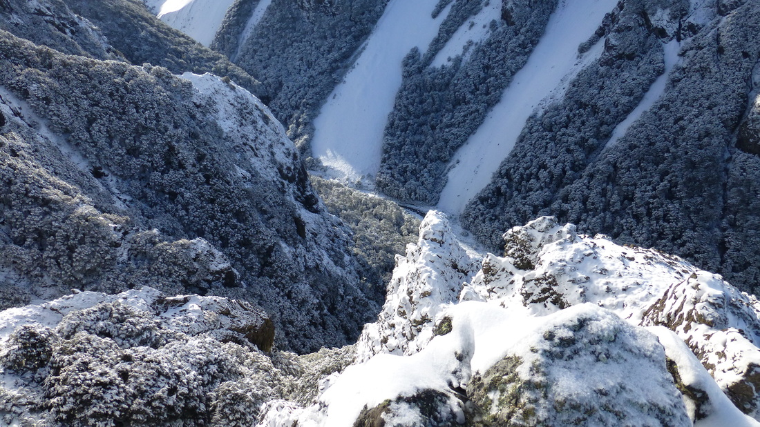
South Marlborough - June 2013 © Peter M. Selby
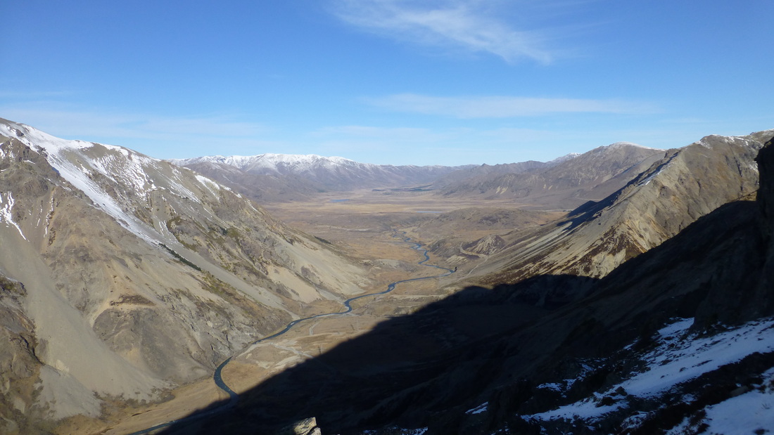
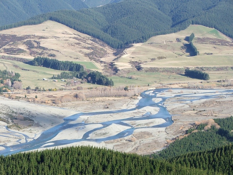
Upper Wairau Valley and Molesworth Station June 2013 © Peter M. Selby
And a few from our neighbouring provinces of North Canterbury and Westland
Spenser Mountains - Nth Canterbury. © David V. Selby
Spenser Mountains - Nth Canterbury - Jan 2012 © David V. Selby
Upper Waitaha - Westland Jan 2012 © David V. Selby
Ivory Glacier - Westland Jan 2012 © David V. Selby
Mungo Hut, Westland April 2013 © David V. Selby